


(1) All layers inside of gpkg have been created with these characteristics:
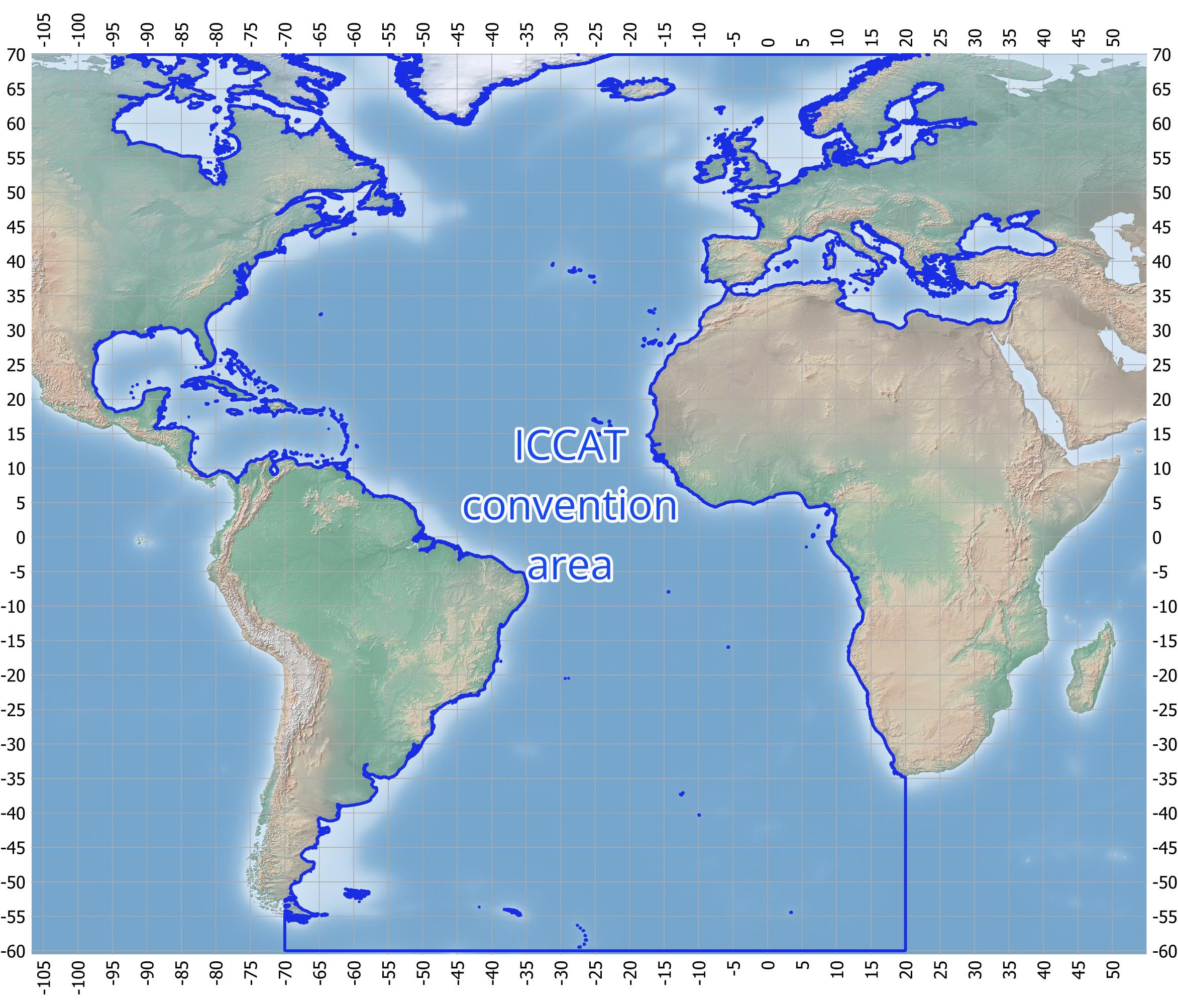
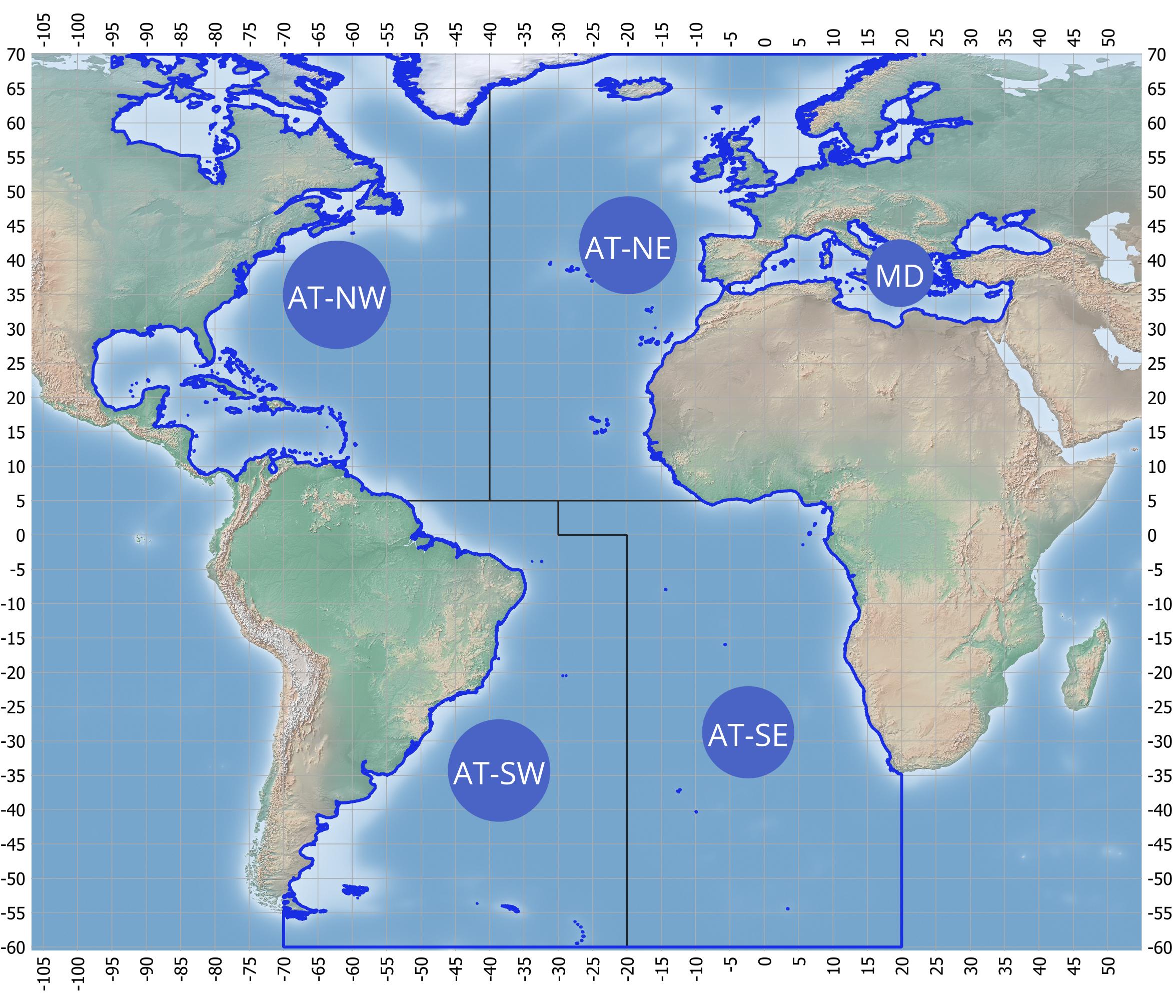
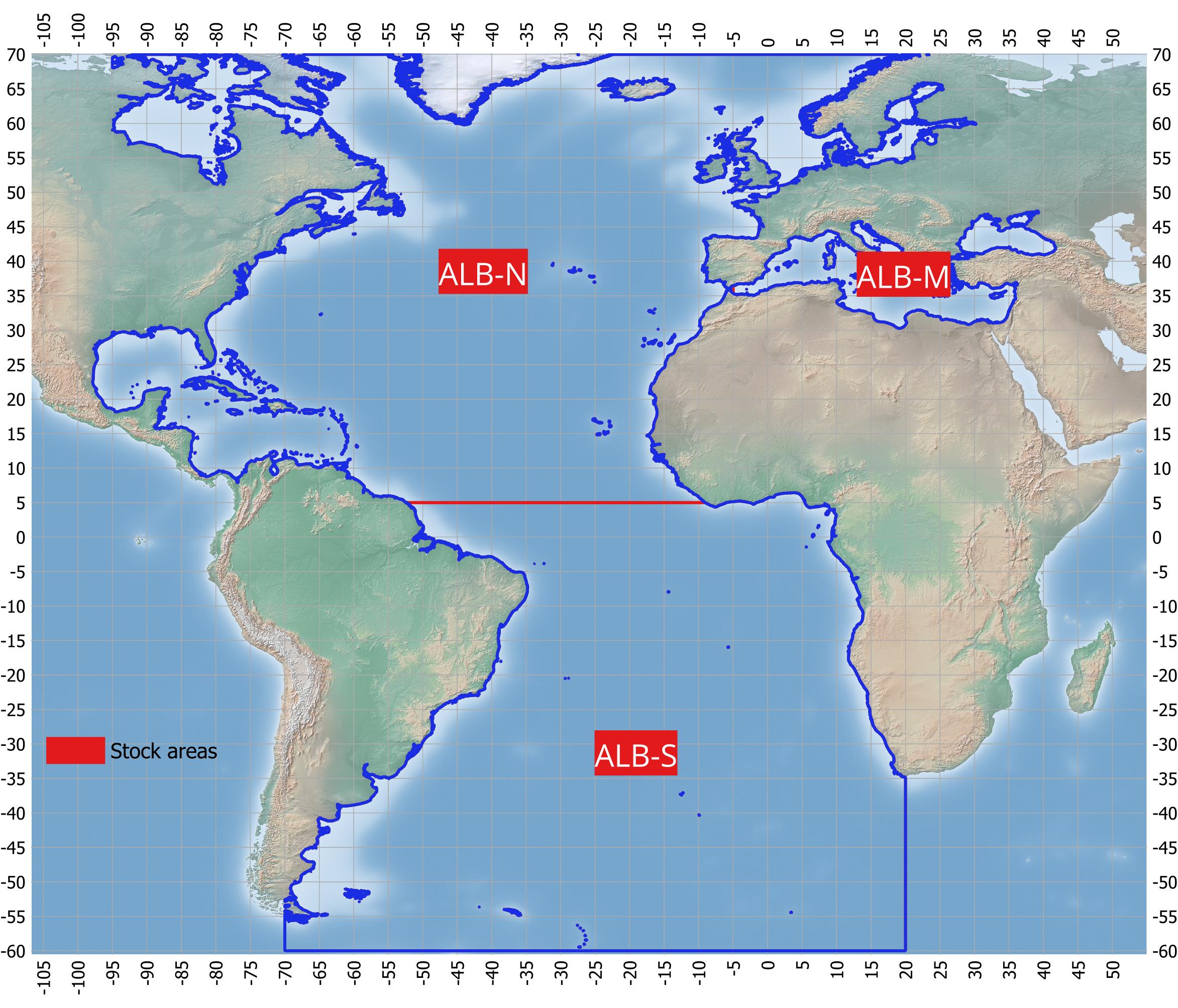
• The adopted coastline has been extracted from the UN_CONTINENT2_NEW layer as available on the FAO GeoServer (based on United Nations geospatial Clear Map).
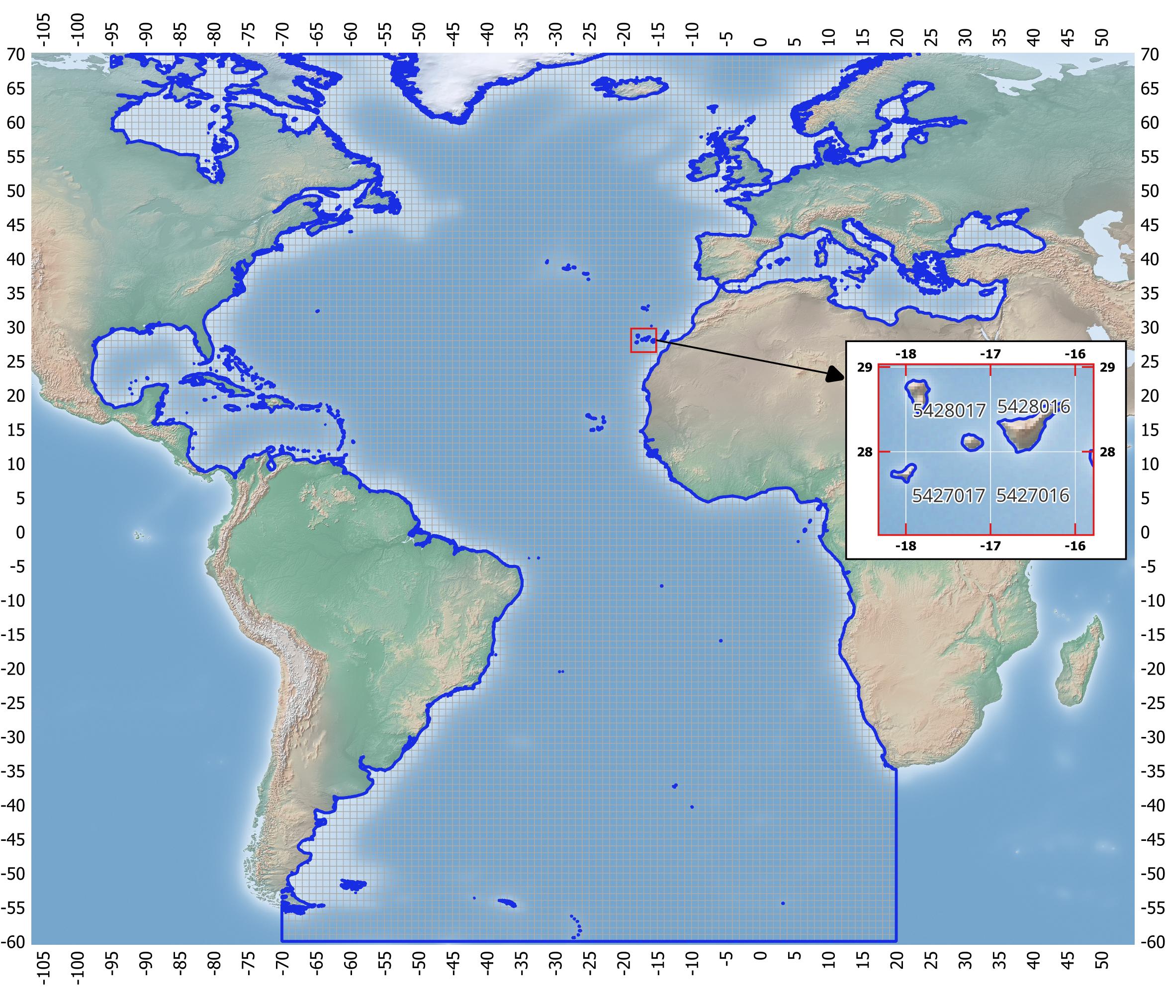
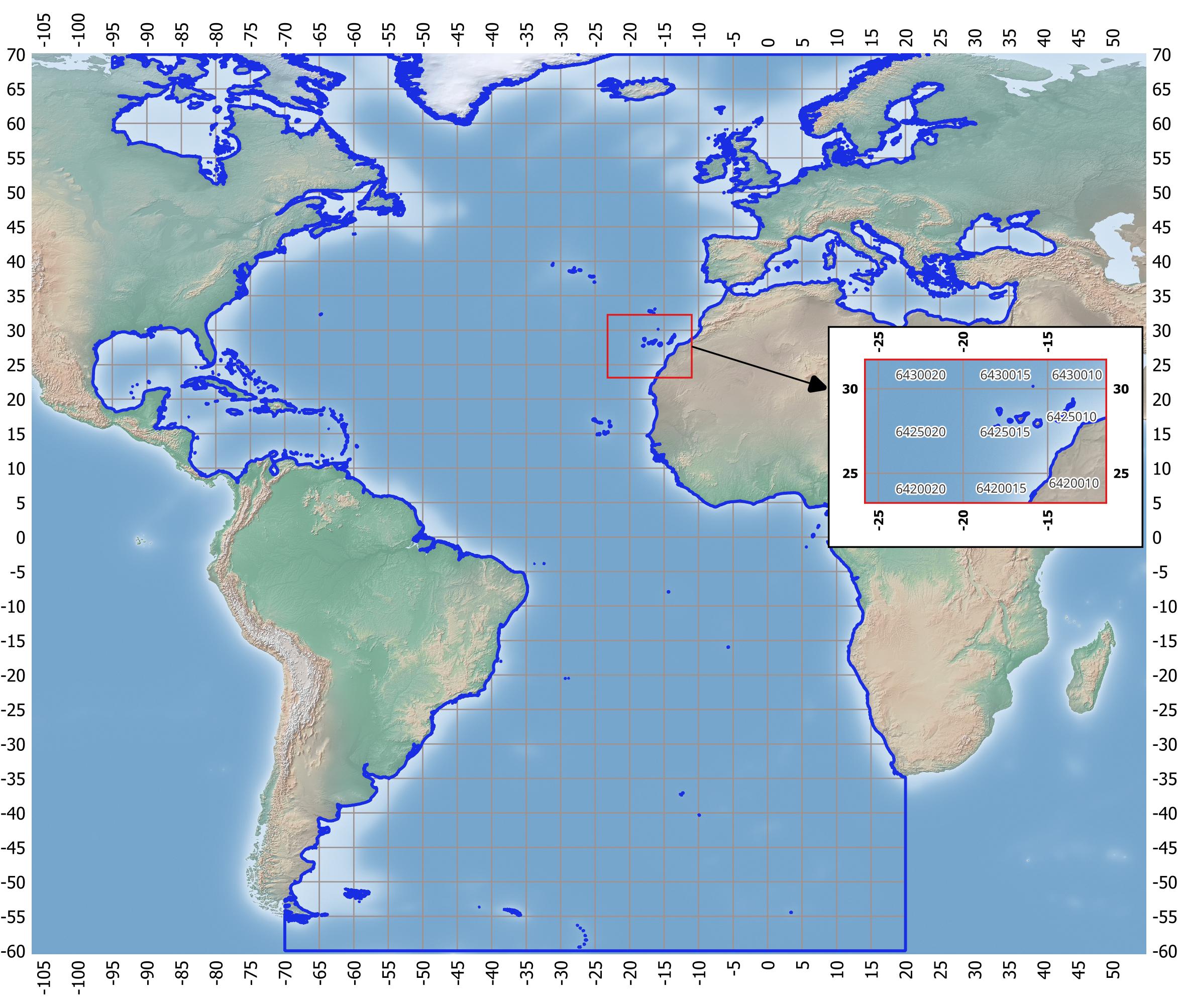
• The regular grid coding system follows the rules defined by the FAO Coordinating Working Party on fishery statistics (CWP).
• The spacial reference identifier (SRID) is EPSG 4326 - WGS 84.
(2): Geopackage (https://www.geopackage.org/) is an open, standards-based, platform-independent, portable, self-describing, compact format for transferring geospatial information.